Coastal Flooding, Santa Ana Winds, and the Week Ahead
How this was made Verified AI
Every Intellegix briefing is generated from that day's broadcast and run through automated checks before it publishes — with a human paged on any flag. Here is the trail for this edition.

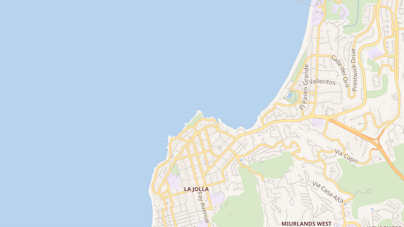
The National Weather Service issued a Beach Hazards Statement at 12:10 a.m. Sunday, effective from 4 a.m. Sunday through 10 p.m. Tuesday, November 10th. Late-morning tides Sunday and Monday are forecast to peak at 7.4 to 7.6 feet — approximately 1.3 to 1.6 feet above astronomical tide predictions. Surf is expected to reach 4 to 7 feet Monday. Parking lots and roads near the coast could flood, with isolated road closures possible, and strong rip currents will make swimming genuinely dangerous.
The NWS advisory instructs residents to stay off seawalls and jetties, remain farther back from the ocean during high and rising tides, and avoid driving through water of unknown depth or around barricades. Warm, sunny November weather can make the ocean appear inviting when conditions are hazardous — the coastal flooding component, with tides forecast nearly a foot and a half above predicted levels, is the element most likely to catch people off guard.
Inland, Santa Ana winds are forecast at 15 to 30 miles per hour in inland valleys with localized gusts of 35 to 50 mph in the foothills. Fire conditions remain elevated. The National Weather Service did not confirm a current major wildfire or active evacuation order as of Sunday morning — though that reflects a reporting limitation, not a confirmed all-clear.
Looking into the week: the city's structural deficit announcement represents real progress, but service restoration is not imminent and the infrastructure gap remains. Measure A and Measure B are ahead but uncertified — Monday's 6 p.m. update is the next meaningful data point before the December 3rd canvass close. And the Midway Rising multi-action hearing Monday could define the trajectory of that entire redevelopment. For transit access to waterfront events, MTS identifies Santa Fe Depot on the Green and Blue lines and America Plaza on the Orange Line as the closest access points.