Beach Hazards in Effect Through Monday as County Looks Ahead
How this was made Verified AI
Every Intellegix briefing is generated from that day's broadcast and run through automated checks before it publishes — with a human paged on any flag. Here is the trail for this edition.
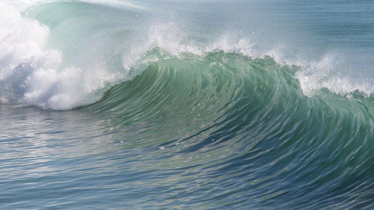
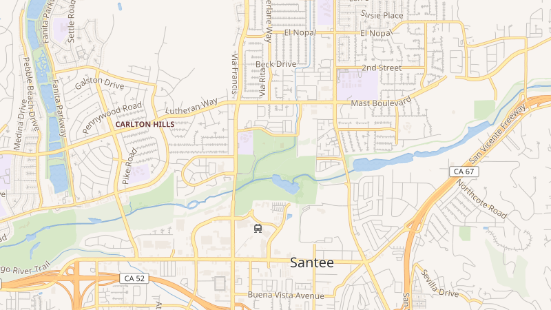
The National Weather Service has issued a Beach Hazards Statement effective through Monday evening, with a south swell generating surf of 3 to 6 feet and sets up to 7 feet along south-facing beaches. High rip current and longshore current risks are in effect, with water temperatures between 65 and 70 degrees. The National Weather Service urges people to stay out of the water; anyone caught in a rip current is advised to swim parallel to shore rather than fighting directly against it. Inland areas including Santee can expect highs in the upper 70s to low 80s, with the typical June marine layer expected to burn off by midday.
Looking ahead, the County Board of Supervisors will revisit the deadlocked transparency measure on June 25th, and Santee's City Council is expected to hold its vote on the license plate reader pilot program on June 24th. The Santee Summer Concert Series continues Thursday evenings at Town Center Community Park East from 6:30 to 8:00 PM through August 13th, featuring patriotic programming tied to America's 250th anniversary.